Directions
TRAVEL DIRECTIONS TO TEMENOS:
Phone: (413) 367-9779 Mobiel phone reception available in Wendell Town Center, Shutesbury Town Center, Amherst and along portions of Route 63. GPS has become increasingly reliable, but sometimes gives incorrect data due to spotty reception in the hill towns, but Google Maps and Apple Maps seem to provide reliable directions. For best results print out hard copy of directions we provide and compare these to your GPS.
From Brattleboro and North
- Drive South on Interstate 91
- Take exit 27 for Route 2 East
- Take RIGHT at fork onto Route 2A East
- Go a half-mile and turn RIGHT at the Wendell Center sign (going over bridge)
- Follow this road – a curving, winding road – for nearly 6 miles
- At 6 miles, follow the very sharp curve to the right
- Go 2 more miles to a 4-way intersection
- Turn LEFT onto Jennison Road, which is a dirt and gravel road
- Follow Jennison Road .3 miles, bearing RIGHT at fork near the cemetery, to stay on Jennison Road
- Go another .3 miles and take a RIGHT onto Mount Mineral Road
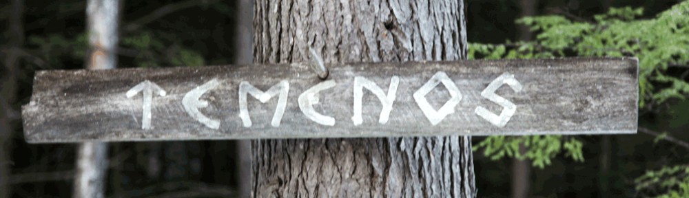
- Follow Mount Mineral Road for .2 miles, then bear RIGHT at the Temenos sign
From Boston area and East
- Drive West on Route 2
- Take Exit 71 to US 202 S
- Take a right off the exit onto 202 S
- Follow 202 S for about 5 miles
- Take a right onto Wendell Road right after the New Salem Country Store
- Turn left onto New Salem Road after Swift River Elementary School
- Turn Left onto Jennison Road immediately after a pond on the left and a barn, Jennison Road is a gravel road
- Follow Jennison Road for for about 3.4 miles, on your left will be a farm with some large empty industrial tanks, Mount Mineral road will be shortly after that
- Sharp left turn onto Mount Mineral
- Follow Mount Mineral Road for .2 miles, then bear RIGHT at the Temenos sign
From Connecticut, New York and West
- Take Interstate 91 North to Deerfield exit 24
- At the exit ramp turn onto Route 116 South – over the Connecticut River into Sunderland
- Turn LEFT at the traffic light onto Route 47 North
- Go 5-6 miles until Route 47 comes to an end (highway sign marks the end, just after Route 47 makes a sharp right turn)
- Do not turn onto Route 63 – go straight across the intersection, following signs to Lake Wyola State Park, about 5 miles on Lakeview Road
- Continue past Lake Wyola swimming beach to a stop sign
- Go STRAIGHT through the intersection onto Jennison Road (gravel & dirt road)
- Follow Jennison Road .3 miles, bearing RIGHT at fork by the cemetery, to stay on Jennison Road
- Go another .3 miles and take a RIGHT onto Mount Mineral Road
- Follow Mount Mineral Road for .2 miles, then bear RIGHT at the Temenos sign
From Northampton and Amherst
- Take Route 9 (North or South) to Route 116 North to Route 63 North
- Turn LEFT at the intersection, then bear RIGHTt, to continue on Route 63 North
- Stay on Route 63 until you see signs for Lake Wyola State Park
- Turn RIGHT onto North Leverett Road toward Lake Wyola State Park (about 5 miles)
- Continue on Lakeview Road past Lake Wyola swimming beach to a stop sign
- Go STRAIGHT through the intersection onto Jennison Road (dirt & gravel road)
- Follow Jennison Road .3 miles, bearing RIGHT at fork by the cemetery to stay on Jennison Road
- Go another .3 miles and take a RIGHT onto Mount Mineral Road
- Follow Mount Mineral Road for .2 miles, then bear RIGHT at the Temenos sign